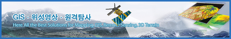
연구의 선진화와 생산성 향상에
필요한 최적의 소프트웨어와 컨설팅을
공급하도록 노력하겠습니다.
필요한 최적의 소프트웨어와 컨설팅을
공급하도록 노력하겠습니다.


|
[버전별 주요 기능 업데이트 내역]
|
|
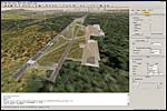
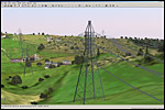
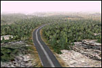
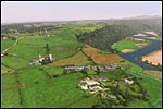
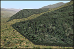
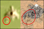
활용 사례 그림들 |
||||||||||||||||||||||||||||||||||||||||||||||||||||||||||
|
||||||||||||||||||||||||||||||||||||||||||||||||||||||||||||
|
|
||||||||||||||||||||||||||||||||||||||||||||||||||||||||||||
|
|
||||||||||||||||||||||||||||||||||||||||||||||||||||||||||||
|
[버전별 주요 기능 업데이트 내역]
|
|
활용 사례 그림들 |
||||||||||||||||||||||||||||||||||||||||||||||||||||||||||
|
||||||||||||||||||||||||||||||||||||||||||||||||||||||||||||
|
|
||||||||||||||||||||||||||||||||||||||||||||||||||||||||||||
|
|
||||||||||||||||||||||||||||||||||||||||||||||||||||||||||||

59470 전라남도 보성군 회천면 금광길 9-9 TEL: 042-222-1188 / 070-7580-1188
E-MAIL:sales@woorimtech.com COPYRIGHT(C) 2008 우림텍. ALL RIGHTS RESERVED.
 |