Server Based Coordinate Database Management with Blue Marble Desktop
INdicio? CRS Registry provides an open standards-based registry of coordinate reference systems (CRS) and units of measure definitions. This registry can be hosted internally by your organization on a proprietary and central server. The Blue Marble Desktop can seamlessly access this registry for management and manipulation of the coordinate database. The Geographic Calculator's registry interface, administrative tools, and coordinate interfaces coupled with the INdicio server is the most comprehensive tool available for hosting geodetic registries. Many top Oil and Gas Exploration, Survey firms and Government organizations that require highly accurate geodetic information would greatly benefit from hosting their own internal copy of the OGP's EPSG database with these tools. This allows these organizations to customize and manage this mission critical information on their own terms.
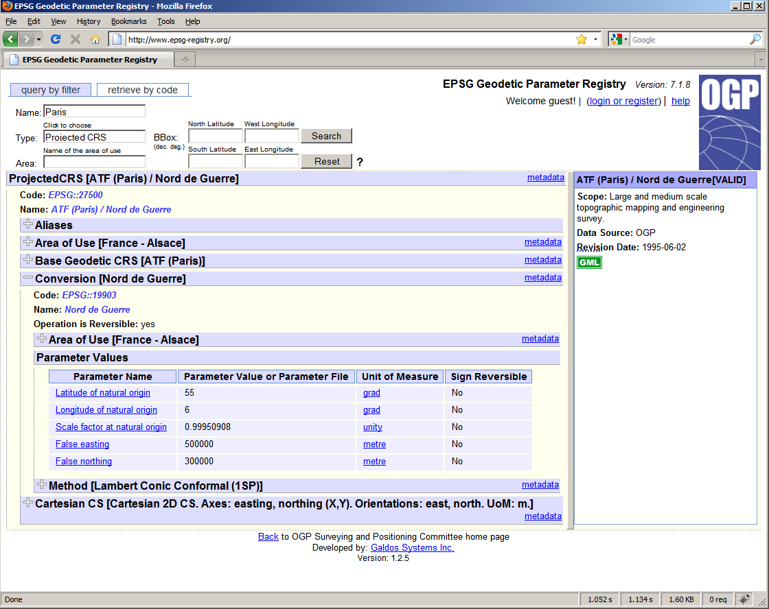
It can support any coordinate reference system that can be defined using GML v3.2, including the Europoean Petroleum Survey Group (EPSG) reference system, various types of Engineering Reference Systems, and the coordinate reference system defined by the ISO 19111 standard. INdicio? CRS Registry implements the Catalogue Service for the Web (CSW) specification from the Open Geospatial Consortium, and ships with a CSW-ebRIM Basic Extension Package which provides a variety of necessary objects for geospatial applications.
INdicio? Registry User Interface
The INdicio? Geographic Registry is an e-business registry for geographic information and geospatial services. It plays the role of matchmaker in a service-oriented architecture, enabling the dynamic discovery of web-based services or geographic data. Supporting the OGC extensions to ebRIM (the Registry Information Model from the ebXML initiative), INdicio is the ideal solution for managing shared resources, such as service descriptions, XML (and GML) schemas, definitions of coordinate reference systems, map styles, geographic data sets, imagery and sensor data records.
An essential capability of any catalogue is the ability to organize and categorize the information contained in them. INdicio clearly fulfills this requirement by defining associations amongst the registered resources and by applying classification schemes through the ebRIM data model.
Administrators can define custom classification schemes for registered objects and create arbitrary associations between pairs of registered objects. Indicio gives your data administrator control over the deployment, removal and status of any type of registered object from a data set to a service interface description (e.g. a WSDL document).
INdicio provides flexible, programmatic searches based on OGC Filter expressions and W3C XPath expressions. This flexibility is essential for supporting fine-grained queries, broad taxonomy-based searches and spatial queries.


 INdicio? Registry User Interface
